bolo Knows the Water.
Much of today's chart data is 30–40 years old, and even with NOAA's latest efforts—AI satellite imagery, green sonar lasers, and saildrone surveying—updated U.S. coastal maps won't be complete until 2041. That's a lot of coastline to worry about. bolo fills the gap with real-time, crowd-sourced reports from boaters like you—so you always have current conditions before you leave the dock.
bolo is a situational awareness tool, not a navigation replacement.
See bolo in Action
Watch how boaters use bolo to stay informed and keep each other safe on the water.
Report Types
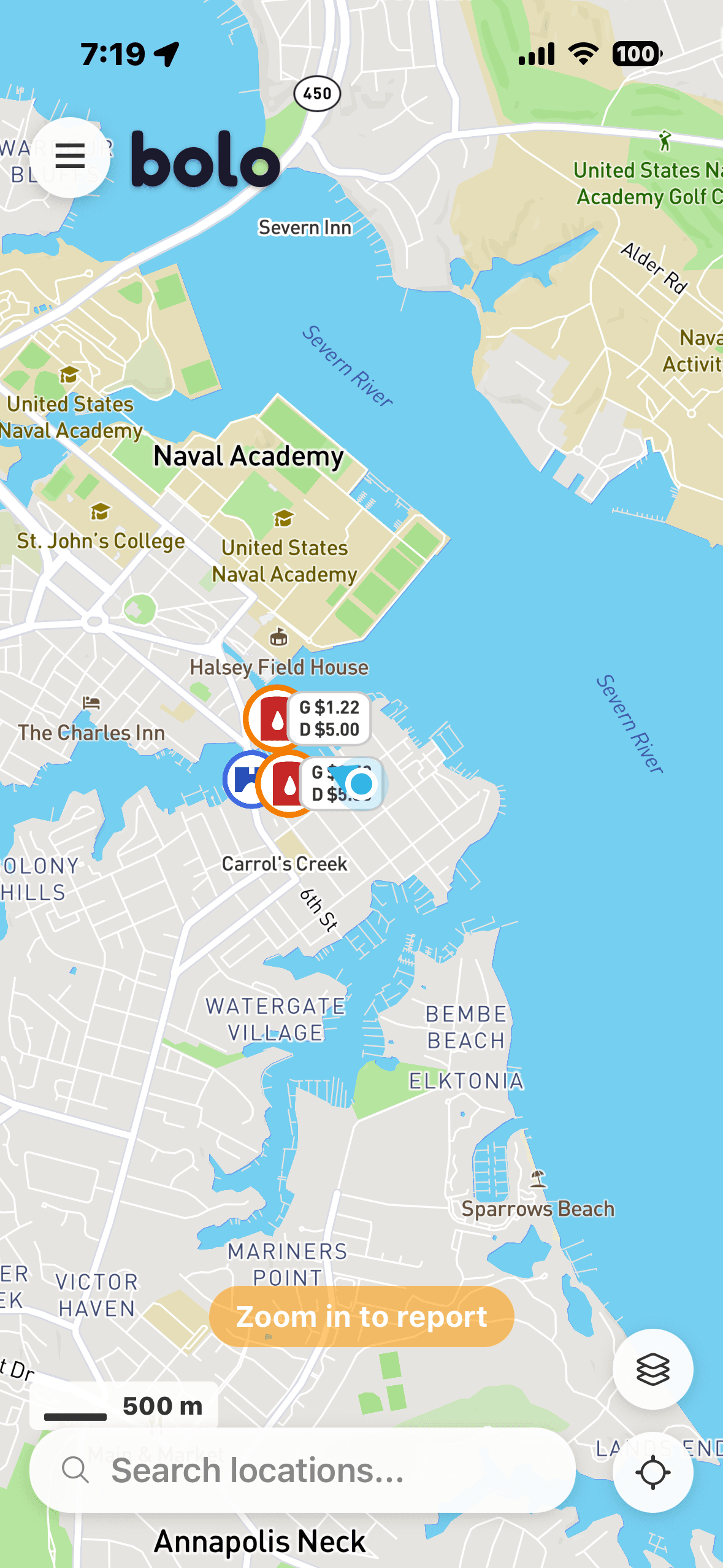
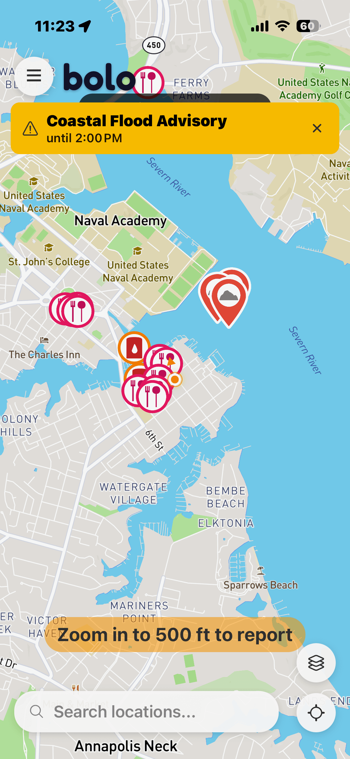
What Can You Report?
Be the good samaritan on the water. Report floating debris before it damages someone's hull, warn fellow boaters about a crab pot in the channel, or share a dolphin sighting that makes their day. Every report helps the boating community stay safe and informed.
FAQ & Support
Find answers to common questions about bolo.